We did segment 2 on 7/7/2012 and we decided to do a day trip without Cooper. Sorry Coop but you had great time at home thanks to our best neighbor, Angie, Josette and Cooper's buddy Mojo who watched Cooper while we were hiking. Cooper got to go on a 3 miles run with Josette and play date with Mojo. We decided not to take Cooper with us because this segment would have no water for 10.1 miles and no shade due to fire burn over ten years ago in this area which would be too much for Cooper with potential heat on this hike.
We dropped our jeep off at the parking lot where segment 2 end/start of segment 3 on the night before. We left home at 10 after 6am and got to South Platte River TH around quarter after 7am. We weren't really sure if we were able to hike this morning though because it was raining the night before in Denver and this area and forecast for 50% thunderstorm/rain and potential flash flood. Brad was concern about flash flood more than anything where we would start hiking on this segment with South Platte River and Buffalo Creek here and our car park here. When we got to TH, it was cloudy, foggy and some part of blue sky. We decided we could hike this and river bank is high enough our car would be ok.

TH information, started hiking at 7:30am


Foggy Morning

Gudy Gaskill Bridge the start of segment 2. Gudy Gaskill is founder of CT foundation
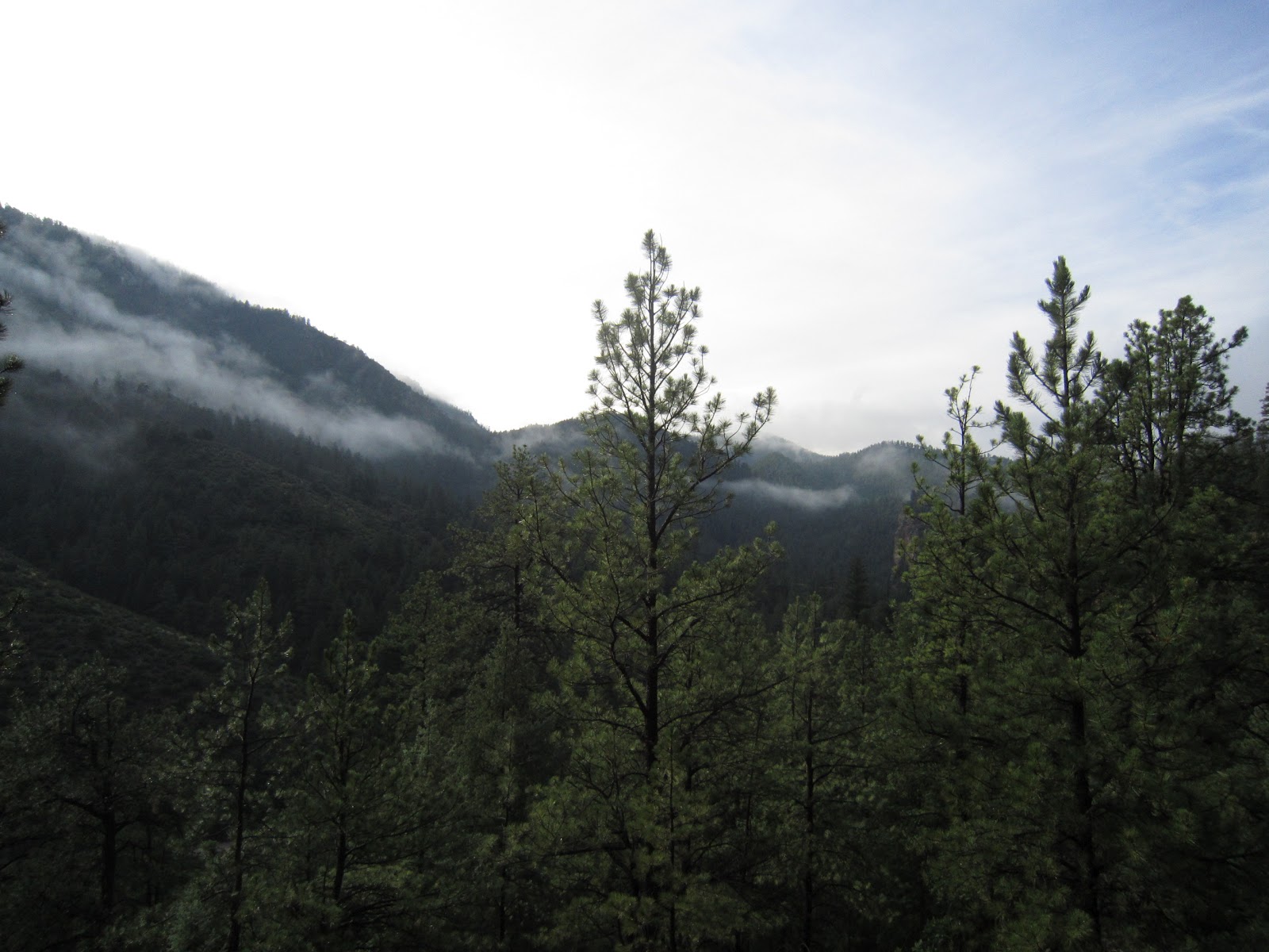
Nice morning cloud facing view back to mountain on first segment


Hike into mile 2 to 3, already hiked into burn area call Buffalo Creek in 1996.


Brad with a lot of energy and great effort for picture for blog! It was a great view on Granite outcrop on cloudy morning.


Unfortunate view hiking through burned area. Can't complain with this weather either!


After mile 3.5-4, finally hiking through some trees


Whose bone was this?

Raleigh Peak from far view
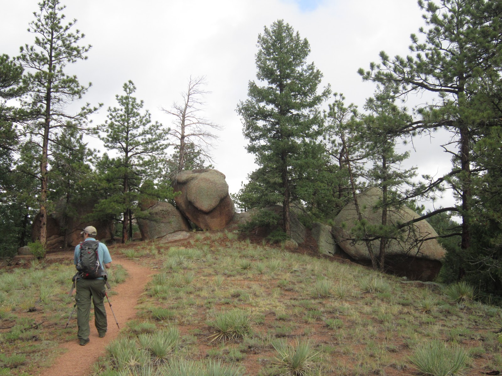
At mile 5.2 refer to Chair Rock area
We started hiking early this time, we only met some mountain bikers and 2 of them were backpacking biking, base on gear we saw on their bike. We met them after passed approximately mile 5.5 of this trail.

We reached at mile 6 junction Raleigh Peak Rd & Lion Cave Tr. We did 6 mile in 2 1/2 hr!

Here is the junction and this road lead to old Top of the World camp ground which got burn during the fire

Crossed the forest road continue on CT

Raleigh Peak

Long Scraggy Peak

Well another view of Long Scraggy Peak. Our trail is to hike through burned area

Wonder how these pines survived from the fire

Wild blue berry

Another berry...not sure what kind..or edible

After mile 10.1, it reached where trail parallel with CR126 then across road on the last mile to finish
We arrived to Scraggy TH parking lot at quarter after 12pm. We finished this trail in a little less than 5 hr. We couln't believe it but I sure felt my leg tired after 6 miles. Then 2nd half was exposure, no tree, and very hot. We did slow down. Last mile to the end felt so long...total hike is 11.5 mile and not so sure we will do another 12 miles day hike anytime soon!

This is a GPS map, elevation and speed for on hike.
Direction:
Getting to South Platte River TH: Drive south on Hwy 285, pass Aspen Park and Conifer. You will pass all shopping center and there is sudden turning right lane after you pass Conifer, look for Reynold Park sign. Turn right to get off Hwy 285 and turn left which will be come CR97 or Foxton Rd. It will go underneath Hwy 287 curve right to 3 way stop sign. Turn left toward Reynold Park (which is CR97 or Foxton Rd). Continue on this road for 8 mile. There is intersection you will see area map for South Platte River Corridor. Turn left which will be CR96 (no stree sign). Continue on this road along river (on your right) for 5.5 mile you will across the smaill bridge - which ghost town of South Platte is. Once you cross this bridge, it become CR97 and TH parking lot is on your right about .5 mile from the bridge.
Getting to Little Scraggy TH: Drive south on Hwy 285 approximately 32 miles to Pine Junction. At traffic light, turn left on Pine Junction road or Jefferson County Rd (CR) 126. Drive on CR12 for approximately 13 miles, turn right on FR550. For a short drive after your turn, there is parking lot at Little Scraggy TH. It cost $6/day for parking here. Our jeep was safe here.